Longridge to Bilsborrow. 19 miles. 1700ft ascent.
OUTBOUND
Bus 152, Feniscowles, Feildens, 08:03
Preston, 08:25
Bus 1, Preston, 08:36 (08:46)
Longridge, 09:08
INBOUND
Bus 41, Bilsborrow, 17:26 (Bus 40, 18:12)
Preston, 18:00
Bus 152, Preston, 18:20 (19:00) (18:22 from Twelve Tellers Wetherspoons)
Feniscowles, Feildens, 18:43
MAPS
OS 287, West Pennine Moors, printed 2015
OL 41, Forest of Bowland & Ribblesdale, printed 2018
OS 286, Blackpool & Preston, printed 2008
ROUTE
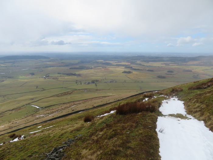
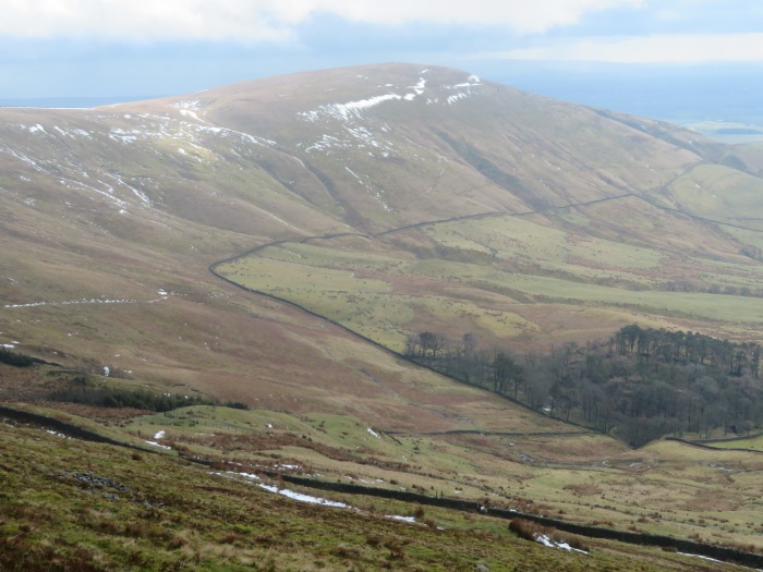
GR 605 374, Longridge PO, orange road northwest (briefly), white roads northeast (following course of a disused railway), Willows Farm, Billingtons, Lord’s Lane, Curtis House, pub symbol, Blackmore House, Clap Gate, 108, Blackmoss Farm, Black Moss House, Hesketh End, Hesketh Lane, Higher Chipping House, Abbot Barn, Halton Hill, Ferry Butts, Lingey Hill, unmarked path direct to 213 T junction, car park symbol, Fell Foot, direct route to Parlick summit, Nick’s Chair (via west side of wall), Paddy’s Pole, retrace steps back to small cairn, zig zag track down hillside, Higher Fair Snape, FB, near Admarsh Barn Farm, 196, Vicarage Farm, Bleasdale, Sch, Weaver’s Farm, path and tracks down River Brock valley for 5.5 miles eventually passing Matshead, path south along railway (don’t jump at the sound of an unexpected high speed train), white track west, Brock, 21, canal south, Owd Nells Canalside Tavern – 7 min – Bilsborrow southbound bus stop – just past Roebuck – via orange road east and A road north.
NOTES
Terrain: Quiet roads and tracks, hill paths and tracks, riverside paths and tracks.
WALKED
Apr 3, 2018: Minor route variation, estimated future pub time 16:30 to 17:15. Showers then sunny spells, mist on tops, saturated ground. Curlews, lapwings, lambs, daffodils.