Wilpshire to Longridge. 16 Miles. 1600ft ascent.
OUTBOUND
Train, Cherry Tree, 08:20
Blackburn, 08:27
Blackburn, 08:51
Ramsgreave and Wilpshire, 08:57
INBOUND
Bus 1, Longridge, 16:26 (16:36)
Preston, 17:01
Bus 152, Preston, 17:15 (17:45)
Feniscowles, Feildens, 17:42
MAPS
OS 287, West Pennine Moors, printed 2015
OL 41, Forest of Bowland and Ribblesdale, printed 2018
ROUTE
GR 687 315, Ramsgreave and Wilpshire Station, A666 north (briefly), white road north, 148, B6245 northwest, paths circling church, orange road northwest (take unmarked paths down access strips), Copster Green, Park Gate, Bradley Wood, Ribchester Bridge, Ease Barn Farm, Lower Dutton, Gallows Lane, path northwest, FB, FB, up Duddel Brook (path fords brook), Spr, 113, Grindlestone House Farm, Starling Brook, FB, 98, Bailey Hall, Merrick’s Hall, church, white road north, yellow road east, pub symbol at Hurst Green, green track then path east, Observatories, green road northwest past front of Stonyhurst College, Dashwood, Stockbridge Cottages, path northeast, Morton House, orange road west up steep incline, footprint symbol, dotted black track northwest, green path northwest, 306, Hare Hill, High Beacon, Spire Hill, Thornley Hall Fell, red path, Jeffrey Hill, Cardwell House, yellow road southwest, 276, Forty Acre Farm, path south, High House, The Hills, Longridge, B road southwest, orange road northwest, PO, Towneley Arms – 1 min – back to northbound Longridge bus stop.
NOTES
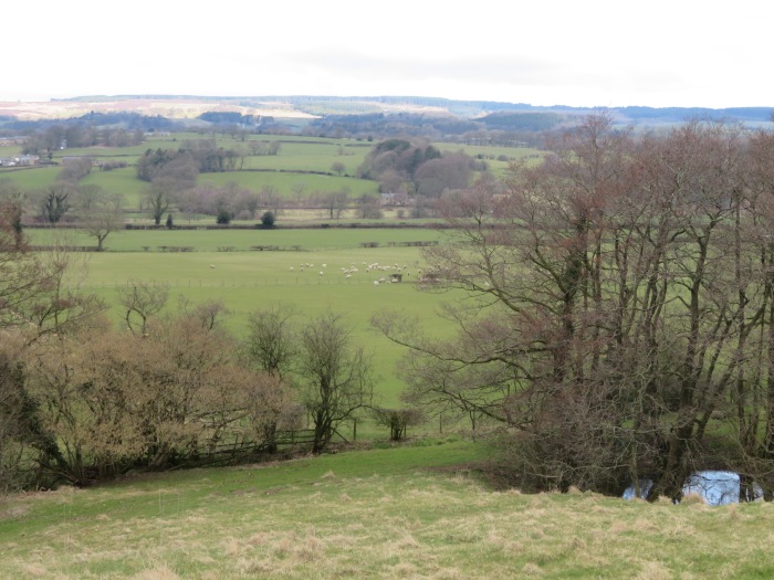
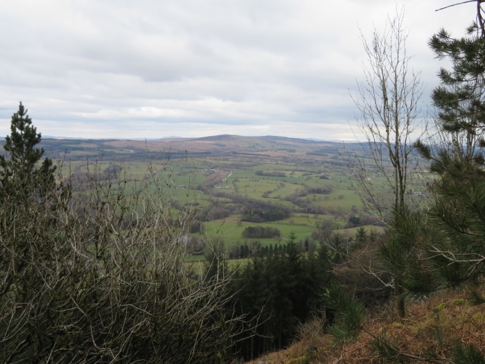
Terrain: Pastoral fields, hill tracks, quietish roads.
Refreshments: Bayley Arms, Hurst Green.
WALKED
Mar 20, 2018: Start 09:00. Pub 15:30 to 16:20. Sunny spells, cool. Curlew calling.