Stacksteads to Haslingden. 13 miles. 1700ft ascent
OUTBOUND
Train, Cherry Tree, 09:18
Accrington, 09:35
Walk, 4 min
Bus 464, Stand 9, Accrington, 09:50 (every 15 min)
Stacksteads, 10:28
INBOUND
Bus 464, Haslingden, Holden Vale, 17:03 (every 15 min) (Red Express 17:10)
Accrington, 17:18
Walk, 4 min
Train, Accrington 17:41 (18:41)
Cherry Tree, 17:59
MAPS
OL 21, South Pennines, printed 2015
OS 287, West Pennine Moors, printed 2015
ROUTE
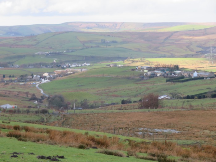
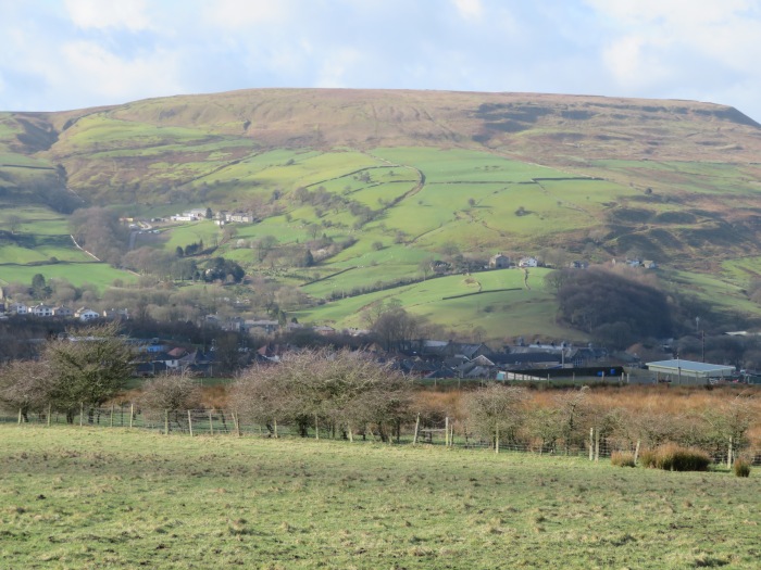
GR 848 218, Stacksteads bus stop, white road north, Tunstead, FBs, green track towards West Hile, green path east at cross paths before Spr, Top o’ th’ Bank, Bacup Golf Club, mast, CH, Bacup town centre, white roads northeast, Sch, yellow road northeast, Higher Change, Stake Moss, Spr, BS, 389, 406, Heald Top Farm (through big iron gate), Rossendale Way, Irwell Sculpture Trail, Sprs, Height End, BS, yellow road south, 389, path west, Spr, Clough Head, Shepherd Clough, Spring Gardens, Water, B road south, path west just north of Forest Holme – via Lower House Green road, (after passing stables, go between two cottages and turn immediate left), Peersclough Farm, Airstrip, (at cross paths, go diagonally across rough ground taking faint path then seeking firmer ground on left), top corner of Swinshaw Moor, path northwest, Bottomley Bank Farm, Crawshawbooth PO, church, green track west, Scar Foot Farm, Hugh Rake Top, Laund Farm, Cribden End, mast, Spr, path southwest to join white track above Longshoot, orange roads west then north towards Holden Vale, Griffin Inn – 5 min – bus stop on A road by continuing along orange road and going down steps near end.
NOTES
Terrain: Mostly on hill tracks.
Refreshments: Mason’s Arms, Crawshawbooth. Excellent pint of porter in Griffin for £2-50.
Navigation: Care needed – some poorly signed paths, especially between Water and Swinshaw Moor.
WALKED
Mar 4th, 2019: Route variation, started in Waterfoot. Estimated future pub time 16:10 to 16:55. Cold wind, showers.