Knott End-on-Sea to Galgate. 15 miles. 0ft ascent.
OUTBOUND
Train, Cherry Tree, 08:10, Lancaster return
Preston, 08:32
Preston, 08:54
Poulton, 09:09
Poulton, opposite station, 09:25 (09:55)
Knott End, Prom, 09:51
INBOUND
Bus 40 41 42, Galgate, cross roads, 16:42 (16:53) (17:16)
Lancaster, 17:02
Train, Lancaster, 17:29 (17:37) (18:27)
Preston, 17:46
Preston, 18:02 (18:37 change) (19:00)
Cherry Tree, 18:29
MAP
OS 296, Lancaster Morecambe & Fleetwood, printed 2017
ROUTE
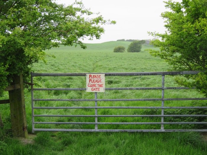
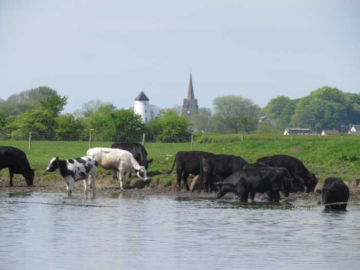
GR 349 486, Knott End Prom, east along beach for 3 miles (1 hour) until a signpost is spotted on embankment with tall pine trees beyond it (at P symbol on map), orange road southeast, Floodgates, dotted black track northeast which is a permissive track (just before Breck Bridge), sea embankment east, viewpoint symbol, unmarked path to second pond and road junction, Lane Ends Farm, Lancashire Coastal Way east for 4.5 miles as far as yellow road past Green Breck, Thursland Hill, FB, 5, path north, green track west, Dobs Lane, Old Glasson, 12, Tythe Barn Hill, orange road north, path east (past village hall), Glasson, Lancashire Coastal Way east, Conder Green Farm, Conder Green, Webster’s Farm, Parkside Farm, Forerigg Wood, canal south, Ellel Hall Bridge, yellow road east, orange road southeast, Galgate, A road north (briefly), New Inn – 1 min – Galgate southbound bus stop.
NOTES
Terrain: Beach, sea embankment, quiet roads, fields.
Refreshments: Stork at Conder Green. Dalton Arms at Glasson. Cafés at Glasson and Conder Green.
WALKED
May 8, 2018: Route variation (Canal from Glasson), estimated future pub time 15:55 to 16:35. Light cloud then rain, mild. Lambs, lapwings, swallows, oystercatchers, curlews calling, white butterflies.