Dec 13. Colne Circular. 13 miles. 1000ft ascent
OUTBOUND
Train, Cherry Tree, 09:21
Colne, 10:12
INBOUND
Train, Colne, 16:21 (17:21)
Cherry Tree, 17:10
MAP
OL 21, South Pennines, printed 2015
ROUTE
GR 881 399, Colne Station, A road southwest, Wks, railwayside path, Bankfield House, permissive path (keep to edge of golf course when you reach it), green paths up hillside to Castercliff summit (but don’t cross footbridge), 263, Cock Leach, Sweet Clough Farm, Fox Clough, Prospect Farm, Cowfield Farm, FB, FB, 271, 264, Pasture Springs Farm, Higher Draught Gates, Oaken Bank, Alder Hurst Head, Antley Gate, 277, Pendle Way (for 2.5 miles), 298, Smithy Clough, Bronte Way, Wycoller (through the hamlet), Lowlands Farm, Pendle Way, Covey Bridge, red path, Weir, Bent Clough Farm, FB, Weirs, Mill, Cotton Tree, Bridge, Carry Bridge Farm, Waterside, Weir, white road north, Wallace Hartley Wetherpoons – 10 min – Colne Station.
NOTES
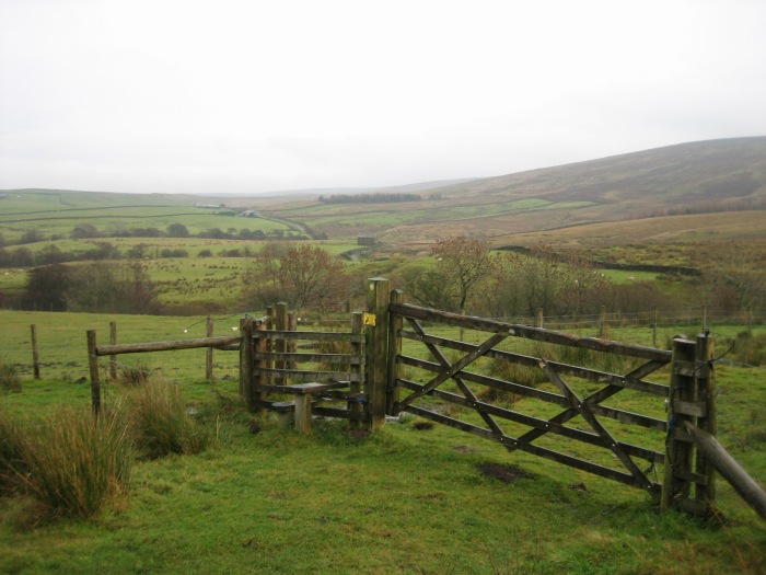
Terrain: Field paths, then hill tracks, then riverside paths.
Refeshments: Lakeside Café (past Covey Bridge).
WALKED
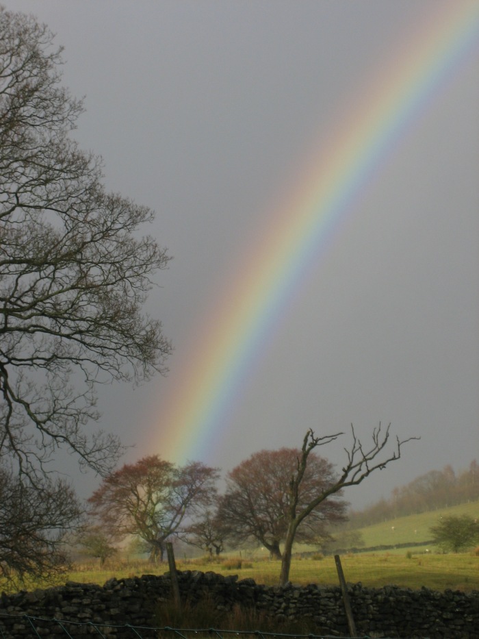
Dec 13, 2016: Start 10:15. Pub 15:25 to 16:05. Overcast, light rain showers. Muddy. Flock of fieldfares, kingfisher, mallards.