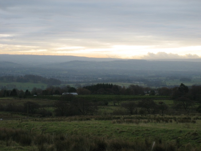
Nov 29. Clitheroe Circular. 14 miles. 900ft ascent
OUTBOUND
Train, Cherry Tree, 09:18
Blackburn, 09:24
Blackburn, 09:33
Clitheroe, 09:56
INBOUND
Train, Clitheroe, 16:25 (17:25)
Blackburn, 16:47
Blackburn, 16:54
Cherry Tree, 16:59
MAP
OL 41, Forest of Bowland and Ribblesdale, printed 2008
ROUTE
GR 742 420, Clitheroe Station, turn left then right down white road northwest leading onto path, edge of Boy Bank Wood, river path upstream, Brungerley Bridge, 71, Waddow Hall, 62, Pinder Hill, Lower New House, Page Fold, white road north, Peter Barn, Reservoir, 138, Hollins Wood, B road north, green track east, Feazer Farm, Dove Syke, white road, Hancocks, Moor Lane, 279, Sour Dock Hill path, Fell Side, 282, 239, round Simpshey Hill, Simpshey, Cob House, White Hall, Green Lane, Green Banks, Lane Side, Skin House, north bank of river downstream, Bradford Bridge, south bank of river downsteam, leave Ribble Way near Khunck Knowles to go though park (to star symbol), B road south to T junction, orange road south past church, Ale House – 4 min – Clitheroe Station.
NOTES
Terrain: Generally on quietish country roads, tracks and river path.
WALKED
Nov 27, 2018: Start 10:00. Pub 15:25 to 16:15. Overcast, then rain, becoming heavy.
Dec 1, 2016: Overcast. Holly berries, free range hens, jay on Green Lane, lone ram on river.